| Locator | Hist Soc - HS-G00876 | Type | Drawing | Doc Number | 10804-5 | |
|---|---|---|---|---|---|---|
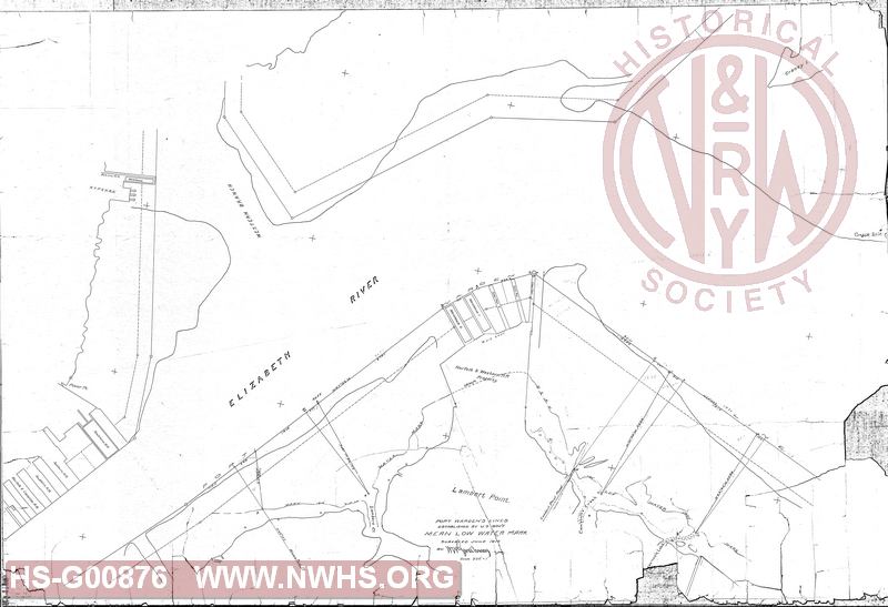
| Description | Lamberts Point drawing including Coal Piers 1, 2 and 3 along with warehouse 1 and 2 showing mean water mark and Elizabeth River from Pinner Point to Craney Island | |||||
| Notes | Drawing in bad shape. See scans HS-G00876 and HS-G00876.1 | |||||
| Date | 07/20/1910 | Revision Date | ||||
| Author | N&W RR - Office of Chief Engr | Accession | 2008.002 : VA Museum of Transportation | |||

|
||
Size: 52in x 36in (133cm x 91cm) |
| Cities Indexes | |
|---|---|
| City | State |
| Norfolk | VA |
| Lamberts Point | VA |
| Structures Indexes | |
|---|---|
| Category | Type |
| Pier | Coal |
| Warehouse | |
| Wharf | Coal |
| Wharf | Waterfront |
| River | |