| Locator | Hist Soc - HS-H10098 | Type | Drawing | |||
|---|---|---|---|---|---|---|
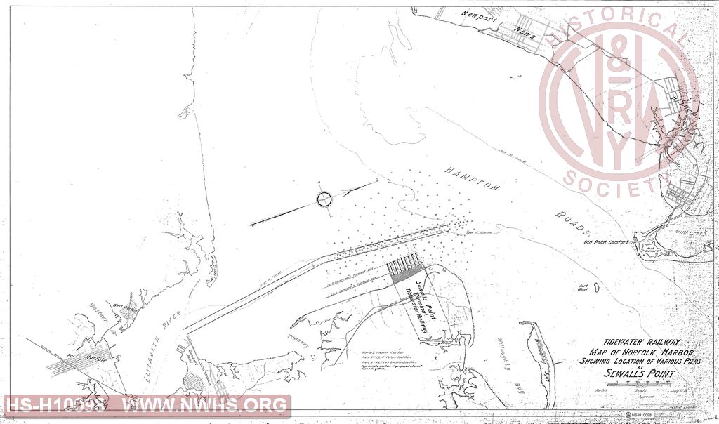
| Description | Map of Norfolk Harbor Showing Location of Various Piers at Sewall's Point, Tidewater Railway | |||||
| Date | 07/17/1906 | Revision Date | ||||
| Author | VGN Rwy - Office Chief Engr | Accession | 2008.001 : Roanoke Chapter - NRHS | |||

|
||
Size: 43in x 25in (109cm x 64cm) |
| Cities Indexes | |
|---|---|
| City | State |
| Norfolk | VA |
| Lamberts Point | VA |
| Sewalls Point | VA |
| Hampton Roads | VA |
| Newport News | VA |
| Structures Indexes | |
|---|---|
| Category | Type |
| Pier | Coal |
| Pier | Merchandise |
| Pier | |
| Railroads and Companies | |
|---|---|
| Abbreviation | Name |
| C&O | Chesapeake & Ohio |
| Deepwater Rwy | Deepwater Railway |
| N&W Rwy | Norfolk & Western Railway |
| SOU | Southern Railway |
| Norfolk Railway and Light Company | |
| Norfolk & Atlantic Terminal Railway | |