| Locator | Hist Soc - HS-D10519 | Type | Drawing | Doc Number | 795-C | |
|---|---|---|---|---|---|---|
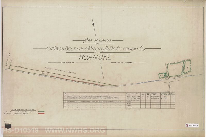
| Description | Map of Lands of The Iron Belt Land Mining & Development Co. at Roanoke | |||||
| Notes | Scale 300'=1", Shows to be downtown around Jefferson Street & Shenandoah | |||||
| Date | 01/06/1888 | Revision Date | ||||
| Author | Accession | 2009.001 : NS Corp/Va Tech Collection | ||||

|
||
Size: 28in x 18in (70cm x 47cm) |
| Cities Indexes | |
|---|---|
| City | State |
| Roanoke | VA |
| Structures Indexes | |
|---|---|
| Category | Type |
| Mine | Ore |
| Railroads and Companies | |
|---|---|
| Abbreviation | Name |
| N&W RR | Norfolk & Western Railroad |
| Iron Belt Land Mining & Development Company | |