| Locator | Hist Soc - HS-G01400 | Type | Drawing | Doc Number | V-2/S-2-c | |
|---|---|---|---|---|---|---|
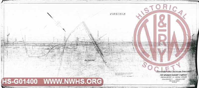
| Description | Station Map - Lands Tracks & Structures, The Virginian Railway Company, Station 212+73.8 to Station 159+93.8 | |||||
| Notes | Scale 1"=100', Sewells Point Branch Mile Post A-5 to A-6. | |||||
| Date | 01/01/1925 | Revision Date | ||||
| Author | VGN Rwy - Office Chief Engr | Accession | 2008.001 : Roanoke Chapter - NRHS | |||

|
||
Size: 57in x 25in (144cm x 64cm) |
| Cities Indexes | |
|---|---|
| City | State |
| Norfolk | VA |
| Bashore | VA |
| Company Document Indexes | ||
|---|---|---|
| Name | Section | SubSection |
| VGN Rwy | Valuation document | |
| Railroads and Companies | |
|---|---|
| Abbreviation | Name |
| VGN Rwy | Virginian Railway |
| Division Indexes | |||
|---|---|---|---|
| Road Name | Division | District/Branch | Mile Post |
| VGN Rwy | Norfolk | Sewells Point Br | 5 |
| Related Documents | |||
|---|---|---|---|
| Type | Number | Locator | Description |
| Related | V-2/S-2-b | Hist Soc - HS-G01399 | Station Map - Lands Tracks & Structures, The Virginian Railway Company, Station 159+93.8 to Station 107+13.8 |
| Related | V-2/S-2-C | Hist Soc - HS-G10110 | Station Map-Tracks and Structures, The Virginian Railway Company, Station 212+73.8 to Station 159+93.8 |
| Related | V-2/S-2-d | Hist Soc - HS-G01401 | Station Map - Lands Tracks & Structures, The Virginian Railway Company, Station 265+53.8 to Station 212+73.8 |