| Locator | Hist Soc - HS-C11115 | Type | Drawing | Doc Number | 7647A | |
|---|---|---|---|---|---|---|
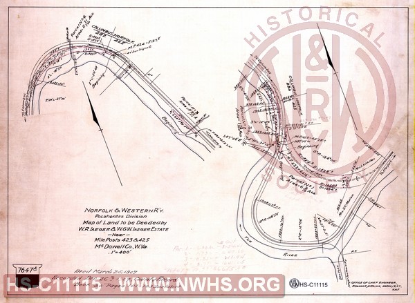
| Description | N&W R'y, Pocahontas division, Map of land to be deeded by W.R.Iaeger & W.G.W. Iaeger Estate near MP 423 & 425, McDowell Co., W.Va. | |||||
| Notes | Scale 1"=400'. Show wye & tunnel at Iaeger. Tunnel never built. | |||||
| Date | 03/19/1907 | Revision Date | ||||
| Author | N&W Rwy - Office Chief Engr | Accession | 2009.001 : NS Corp/Va Tech Collection | |||

|
||
Size: 16in x 12in (41cm x 30cm) |
| Cities Indexes | |
|---|---|
| City | State |
| Iaeger | WV |
| Auville | WV |
| Structures Indexes | |
|---|---|
| Category | Type |
| Land | |
| Track | Wye |
| Railroads and Companies | |
|---|---|
| Abbreviation | Name |
| N&W Rwy | Norfolk & Western Railway |
| Iaeger & Southern Railway | |
| Division Indexes | |||
|---|---|---|---|
| Road Name | Division | District/Branch | Mile Post |
| N&W Rwy | Pocahontas | 423 | |
| N&W Rwy | Pocahontas | Dry Fork Br | |