| Related Documents |
| Type |
Number |
Locator |
Description |
| Parent |
1943 |
Hist Soc - HS-U00647 |
Right of Way map, Ohio Extension from Nolan, WV to Logan/Wayne County Line - P N478 to MP N510 |
| Related |
1952 |
Hist Soc - HS-C10767 |
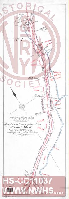
N&W Rwy, Map of Land to be Acquired from Stuart Wood, MP 498+376, Mingo County WV. |
| Related |
1952 |
Hist Soc - HS-F10157 |
Map of Land to be Acquired from Stuart Wood, MP 495+130, Mingo County WV. |
| Related |
|
Hist Soc - HS-D11073 |
N&W RR, Plan showing Right of Way through land of Stuart Wood on Left Fork of Laurel Creek and Trace Br, Logan Co. W.Virginia |
| Related |
1952 |
Hist Soc - HS-CC11038 |
N&W Rwy. Pocahontas Division, Map of Land to be acquired from Stuart Wood, MP 478+3516', Mingo County WV |
| Related |
1952 |
Hist Soc - HS-CC11043 |
N&W RR, Plan Showing Right of Way through land of Stuart Wood on Left Fork of Laurel Creek,.Logan County WV |
