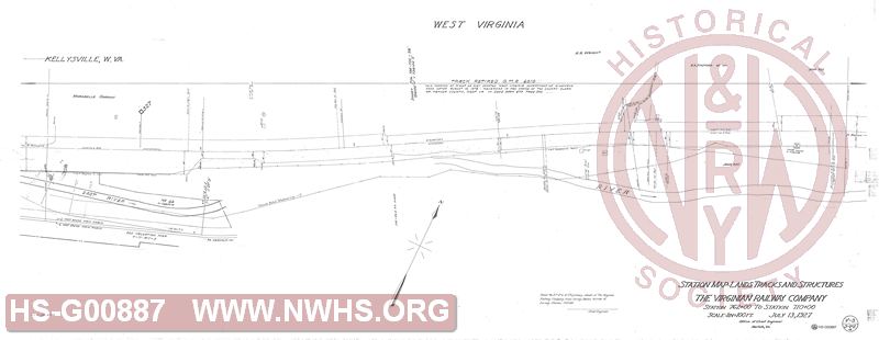
| Locator | Hist Soc - HS-G00887 | Type | Drawing | Doc Number | V-3/ST-2a | |
|---|---|---|---|---|---|---|
| Description | Station Map - Land, Track and Structures, The Virginian Railway Company, Station 762+00 to Station 710+00 (Kellysville) | |||||
| Notes | Scale 1"=100' Updated through retirement of tracks from Kelleysville to Narrows. |
|||||
| Date | 07/13/1927 | Revision Date | 08/15/1972 | |||
| Author | VGN Rwy - Office Chief Engr | Accession | ||||

|
||
Size: 57in x 22in (146cm x 56cm) |
| Cities Indexes | |
|---|---|
| City | State |
| Kellysville | WV |
| Railroads and Companies | |
|---|---|
| Abbreviation | Name |
| VGN Rwy | Virginian Railway |
| Division Indexes | |||
|---|---|---|---|
| Road Name | Division | District/Branch | Mile Post |
| VGN Rwy | New River | 327 | |
| Related Documents | |||
|---|---|---|---|
| Type | Number | Locator | Description |
| Related | V-3/ST-2b | Hist Soc - HS-G00888 | Station Map - Land, Track and Structures, The Virginian Railway Company, Station 710+00 to Station 658+00 (Kellysville) |
| Related | V-3/2 | Hist Soc - HS-G00884 | Right of Way and Track Map , The Virginian Railway Company, Station 768+86.7 to Station 556+20.8(MP 326 to MP 330, Kelleysville and Oakvale) |
| Related | V-3/ST-1b | Hist Soc - HS-G00886 | Station Map - Land, Track and Structures, The Virginian Railway Company, Station 814+00 to Station 762+00 (middle of Hales Gap Tunnel to Kellysville) |