| Locator | Hist Soc - HS-C01721 | Type | Drawing | Doc Number | Y885 | |
|---|---|---|---|---|---|---|
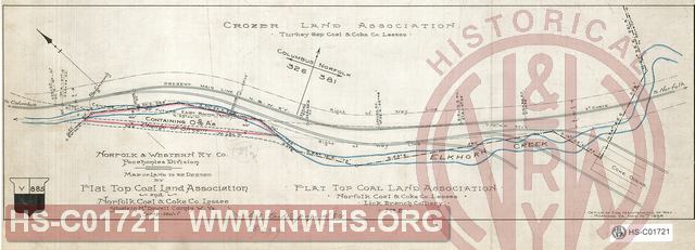
| Description | N&W R'y, Co., Pocahnotas Division, Map of land to be deeded by Flat Top Coal Land Association and Norfolk Coal & Coke Co. Lessee situate in McDowell County, W.Va | |||||
| Notes | Scale 1"=100' | |||||
| Date | 11/10/1898 | Revision Date | ||||
| Author | N&W Rwy - Engr Maint of Way | Accession | 2005.004 : Library of Virginia | |||

|
||
Size: 19in x 7in (49cm x 18cm) |
| Structures Indexes | |
|---|---|
| Category | Type |
| Land | |
| Railroads and Companies | |
|---|---|
| Abbreviation | Name |
| N&W Rwy | Norfolk & Western Railway |
| Flat Top Coal Land Co | |
| Norfolk Coal and Coke Co. | |
| Division Indexes | |||
|---|---|---|---|
| Road Name | Division | District/Branch | Mile Post |
| N&W Rwy | Pocahontas | 381 | |
| Related Documents | |||
|---|---|---|---|
| Type | Number | Locator | Description |
| Related | 3395 | Hist Soc - HS-K10561 | Untitled drawing showing orignal center line and double track alignment between MP 381 and MP 382. |