| Locator | Hist Soc - HS-H10260 | Type | Drawing | Doc Number | 10437 | |
|---|---|---|---|---|---|---|
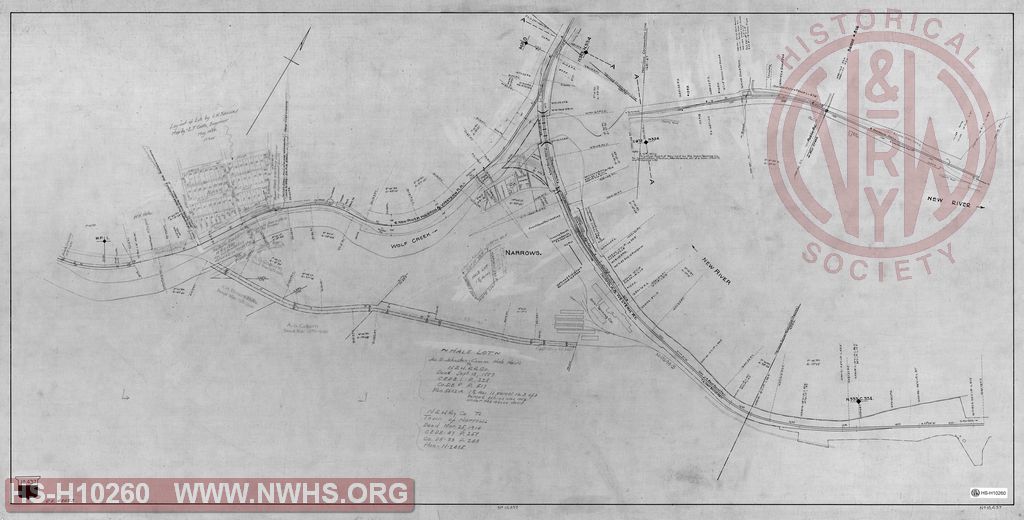
| Description | Untitled map of Narrows VA showing right of way and property deeds. | |||||
| Notes | Shows N&W tracks, including the Top of the Hill Branch to Union Tanning Co., and first mile of New River Holston & Western RR (Narrows Branch). Show property owned at connection sufficient for a wye, and right of way owned for an alternate connection between Top of hill branch and NRH&W near MP 1. CE File 43623. Shows a "Hale Lot" in middle of town transferred to town by N&W in 1914. Shows location of: N&W comb. station and stock pens, Hotel Narrows, NRH&W turntable, shops, water tank, car shed, and store house |
|||||
| Date | Revision Date | 06/03/1926 | ||||
| Author | N&W Railway | Accession | 2009.001 : NS Corp/Va Tech Collection | |||

|
||
Size: 48in x 24in (122cm x 62cm) |
| Cities Indexes | |
|---|---|
| City | State |
| Narrows | VA |
| Structures Indexes | |
|---|---|
| Category | Type |
| Shops | |
| Station | Combination |
| Turntable | |
| Hotel | Various |
| Track | Siding |
| Right of Way | |
| Building | Store House |
| Water Tank | |
| Stock Pens | |
| Building | Hotel |
| Shed | Car |
| Railroads and Companies | |
|---|---|
| Abbreviation | Name |
| N&W Rwy | Norfolk & Western Railway |
| NRH&W RR | New River, Holston & Western RR |
| Union Tanning Co. | |
| Division Indexes | |||
|---|---|---|---|
| Road Name | Division | District/Branch | Mile Post |
| N&W Rwy | Radford | ||
| N&W Rwy | Radford | Narrows Br | |
| Related Documents | |||
|---|---|---|---|
| Type | Number | Locator | Description |
| Related | 5602 | Hist Soc - HS-CC10968 | N&W Ry, Radford Division, Plan of lot held under deed from W.H. Hale at Narrows, Giles Co. Va |
| Related | 5602 | Hist Soc - HS-CC10988 | N&W Ry, Radford Division, Plan of lot held under deed from W.H. Hale at Narrows, Giles Co. Va |