| Locator | Hist Soc - HS-D11045 | Type | Drawing | Doc Number | 6300 | |
|---|---|---|---|---|---|---|
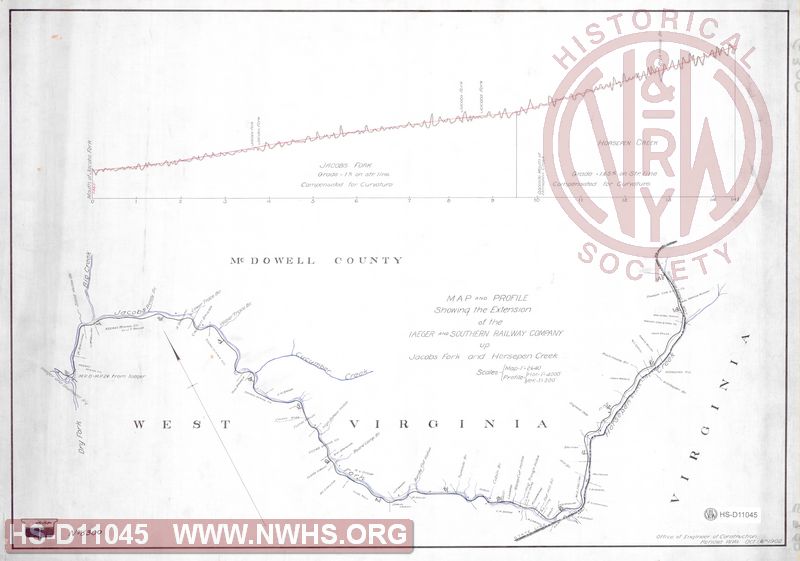
| Description | Map and Profile Showing the Extension of the Iaeger and Southern Railway Company up Jacobs Fork and Horsepen Creek | |||||
| Notes | Shows branch at 14.5" miles | |||||
| Date | 10/06/1902 | Revision Date | ||||
| Author | N&W Rwy - Office Engr Constr | Accession | 2009.001 : NS Corp/Va Tech Collection | |||

|
||
Size: 24in x 17in (61cm x 43cm) |
| Structures Indexes | |
|---|---|
| Category | Type |
| Track | Extension |
| Railroads and Companies | |
|---|---|
| Abbreviation | Name |
| N&W Rwy | Norfolk & Western Railway |
| Iaeger & Southern Railway | |