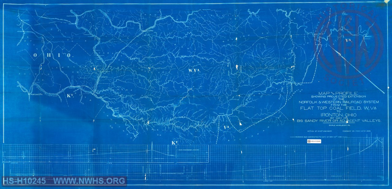
| Locator | Hist Soc - HS-H10245 | Type | Drawing | |||
|---|---|---|---|---|---|---|
| Description | Map and Profile Showing Projected Extension of the N&W RR system from the Flat Top Coal Field to Ironton OH by way of Big Sandy River or Adjacent Valleys | |||||
| Notes | Scale 1"=4 miles. three proposed routes, | |||||
| Date | 02/28/1888 | Revision Date | 05/31/1888 | |||
| Author | N&W RR - Office of Chief Engr | Accession | 2009.001 : NS Corp/Va Tech Collection | |||

|
||
Size: 50in x 24in (126cm x 61cm) |
| Railroads and Companies | |
|---|---|
| Abbreviation | Name |
| N&W RR | Norfolk & Western Railroad |
| Division Indexes | |||
|---|---|---|---|
| Road Name | Division | District/Branch | Mile Post |
| N&W RR | Ohio Extension | ||