| Locator | Digital Scan - DS03022 | Type | Drawing | |||
|---|---|---|---|---|---|---|
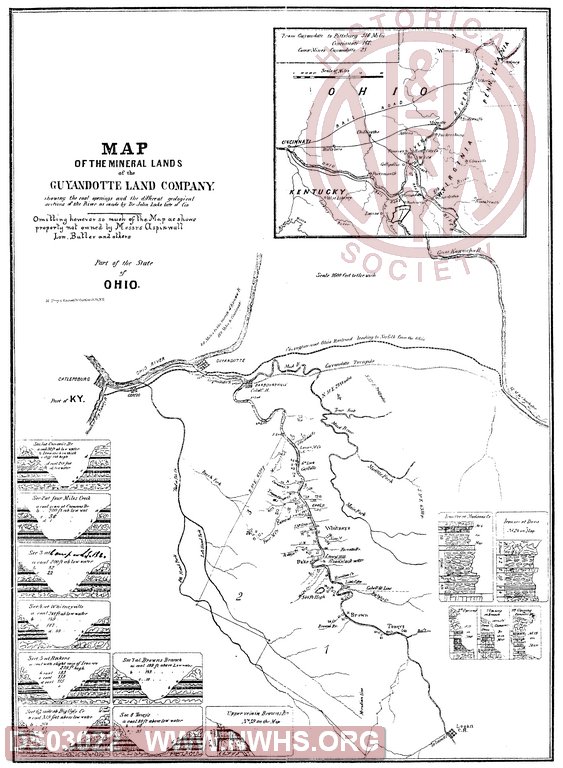
| Description | Map of the Mineral Lands of the Guyandot Land Company showing the coal openings and the different geological sections of the River as made by Dr. John Lockelate of Cin. | |||||
| Notes | Title continued: "Omitting however so much of the Map as shows property not owned by Messrs. Aspinwall, Low, Butler and others". Scale 1"=1600'. Covers territory from Logan Court House to Ceredo, showing coal and ore outcroppings at various points. |
|||||
| Date | Revision Date | |||||
| Author | Accession | 2017.008 : Norfolk Southern Corporation | ||||

|
||
Size: 10in x 14in (26cm x 36cm) |
| Railroads and Companies | |
|---|---|
| Abbreviation | Name |
| N&W Rwy | Norfolk & Western Railway |
| Guyandot Land Co. | |