| Locator | Hist Soc - HS-G00732 | Type | Drawing | Doc Number | V-10-VA/181 | |
|---|---|---|---|---|---|---|
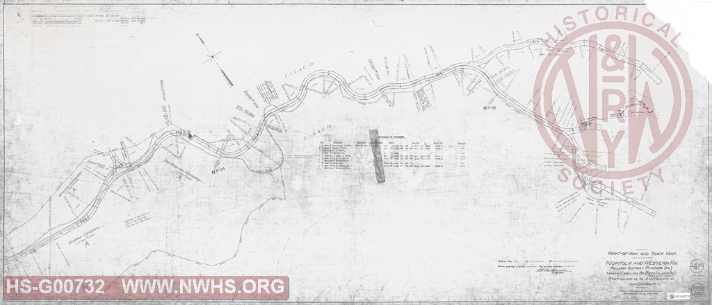
| Description | Right of Way and Track Map, Pulaski District Reed Island Branch (Track Retired), Station 528+00 to 646.25 (North Carolina Branch of Pulaski District of Radford Division) | |||||
| Notes | Originally numbered V-12-VA/105. Covers to before MP P24 to end of track at MP P25.59. Shows wye and abandoned right of way for several spur tracks. Scale 1"=200' |
|||||
| Date | 06/30/1916 | Revision Date | 01/01/1942 | |||
| Author | N&W Rwy - Office Asst to Pres | Accession | ||||

|
||
Size: 56in x 24in (141cm x 61cm) |
| Structures Indexes | |
|---|---|
| Category | Type |
| Right of Way | |
| Track | Wye |
| Railroads and Companies | |
|---|---|
| Abbreviation | Name |
| N&W Rwy | Norfolk & Western Railway |
| Division Indexes | |||
|---|---|---|---|
| Road Name | Division | District/Branch | Mile Post |
| N&W RR | Radford | Reed Island Br | 25 |
| Related Documents | |||
|---|---|---|---|
| Type | Number | Locator | Description |
| Related | V-10-VA/180 | Hist Soc - HS-G00733 | Right of Way and Track Map, Pulaski District Reed Island Branch (Track Retired), Station 422+40 to 528+00 (North Carolina Branch of Pulaski District of Radford Division) |