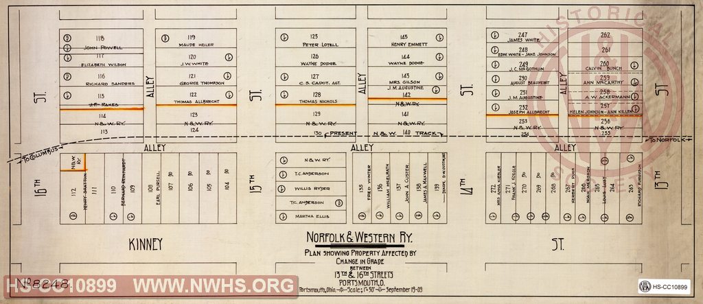
| Locator | Hist Soc - HS-CC10899 | Type | Drawing | Doc Number | 8248 | |
|---|---|---|---|---|---|---|
| Description | N&W Ry, Plan showing property affected by change in grade between 13th & 16th streets, Portsmouth, O | |||||
| Notes | Scale 1"=50' | |||||
| Date | 09/19/1909 | Revision Date | ||||
| Author | Accession | 2009.001 : NS Corp/Va Tech Collection | ||||

|
||
Size: 24in x 10in (60cm x 26cm) |
| Cities Indexes | |
|---|---|
| City | State |
| Portsmouth | OH |
| Railroads and Companies | |
|---|---|
| Abbreviation | Name |
| N&W Rwy | Norfolk & Western Railway |