| Locator | Hist Soc - HS-G10262 | Type | Drawing | |||
|---|---|---|---|---|---|---|
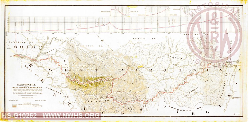
| Description | Map and Profile for the West Virginia & Ironton R.R. Showing location and approximate areas of coking gas and domestic, and splint and cannel coals, prepared by W.W. Coe | |||||
| Notes | Scale 1"=2 Miles. Starts at MP 0 at Powhatan, WV to MP195 at Ironton, OH. Shows connection to Logan, WV. | |||||
| Date | 07/10/1889 | Revision Date | ||||
| Author | N&W RR - Office of Chief Engr | Accession | 2009.001 : NS Corp/Va Tech Collection | |||

|
||
Size: 65in x 32in (166cm x 81cm) |
| Cities Indexes | |
|---|---|
| City | State |
| Bluefield | WV |
| Pocahontas | VA |
| Kenova | WV |
| Bramwell | WV |
| Graham | VA |
| Logan | WV |
| Railroads and Companies | |
|---|---|
| Abbreviation | Name |
| N&W RR | Norfolk & Western Railroad |
| WV&I | West Virginia & Ironton Railroad |
| Division Indexes | |||
|---|---|---|---|
| Road Name | Division | District/Branch | Mile Post |
| N&W RR | Ohio Extension | ||