| Locator | Hist Soc - HS-H10161 | Type | Drawing | Doc Number | F55 | |
|---|---|---|---|---|---|---|
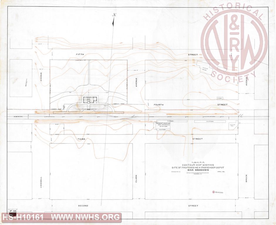
| Description | N&W RR Contour map showing site of proposed new passenger depot Max Meadows | |||||
| Notes | Scale 1"=40'. Shows present station on south of track. Proposed station is west and on north side of track. | |||||
| Date | 04/01/1891 | Revision Date | ||||
| Author | N&W RR - Engr Maint of Way | Accession | 2008.001 : Roanoke Chapter - NRHS | |||

|
||
Size: 39in x 32in (100cm x 81cm) |
| Cities Indexes | |
|---|---|
| City | State |
| Max Meadows | VA |
| Structures Indexes | |
|---|---|
| Category | Type |
| Station | |
| Station | Lot |
| Railroads and Companies | |
|---|---|
| Abbreviation | Name |
| N&W RR | Norfolk & Western Railroad |