| Locator | Hist Soc - HS-CC10443 | Type | Drawing | Doc Number | A-648 | |
|---|---|---|---|---|---|---|
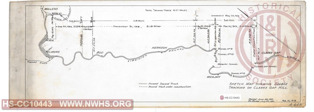
| Description | Sketch map showing double tracking on Clarks Gap Hill | |||||
| Notes | Great overview map between Mullens and Clarks Gap. Shows dates for different double track sections. | |||||
| Date | 02/15/1918 | Revision Date | 07/26/1921 | |||
| Author | Accession | 2009.001 : NS Corp/Va Tech Collection | ||||

|
||
Size: 25in x 9in (63cm x 23cm) |
| Structures Indexes | |
|---|---|
| Category | Type |
| Track | Double Tracking |
| Railroads and Companies | |
|---|---|
| Abbreviation | Name |
| VGN Rwy | Virginian Railway |
| Division Indexes | |||
|---|---|---|---|
| Road Name | Division | District/Branch | Mile Post |
| VGN Rwy | New River | ||