| Locator | Hist Soc - HS-D10653 | Type | Drawing | |||
|---|---|---|---|---|---|---|
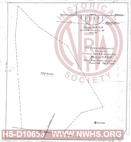
| Description | Plat showing drainage area & situation plan, bridge 47.5 | |||||
| Notes | Scale 1"=500'. Shows 700 acres draining into "Swamp Run" under this bridge | |||||
| Date | 05/27/1918 | Revision Date | ||||
| Author | VGN Rwy - Office Res Engr | Accession | 2009.001 : NS Corp/Va Tech Collection | |||

|
||
Size: 18in x 20in (46cm x 51cm) |
| Structures Indexes | |
|---|---|
| Category | Type |
| Bridge | |
| Railroads and Companies | |
|---|---|
| Abbreviation | Name |
| VGN Rwy | Virginian Railway |